Hello, my name is Jason Reynolds and I’m a sophomore studying environmental science (at UNC)! I’ve had many opportunities to learn new things this semester at the OBX Field Site and my internship was certainly one of them. This semester, I worked with Paul Paris, a research scientist at the Coastal Studies Institute who works in the coastal marine processes and geomorphology lab. While there were some minor bumps along the way, overall, I enjoyed the work I completed with Paul and can say I learned some new things.
At the start of my internship, I remember being a bit nervous because I wasn’t exactly sure of what I would be working on. I had been informed of a few potential projects I could pursue with Paul but didn’t have a clear choice. After some discussion, we settled on a fun and interesting project in which we used Light Detection and Ranging (Lidar) data and GRASS GIS to analyze changes to marshes on nearby Pea Island. From working on the project, I refined my skills in completing research and gained valuable exposure to geographic information system (GIS) software. I’ll now give a brief rundown of the project.
Lidar is a sensing method that uses a laser to collect elevation data remotely, such as from an aircraft. While it can be quite accurate in most environments, in densely vegetated marsh ecosystems the laser typically returns higher-than-actual elevation values. We collected lidar datasets and brought them into GRASS GIS to complete some corrections, based on other research I had completed. Once this was complete, we used aerial photography to mask our data and only leave behind what we thought to be marsh. We completed some calculations based on what was left, ultimately creating a map that showed the change in elevation of an area of marsh between 2008 and 2018 (to our best estimate).
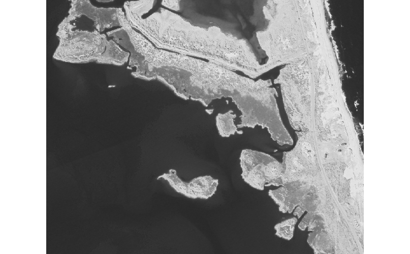
(Above) The infrared band of aerial imagery of our study site from 2008!

(Above) The map created by subtracting elevation values from 2018 and 2008. Red pixels indicate areas where elevation has increased, and accretion has occurred. We attribute the widespread accretion to the inlet that opened in this area as a result of Hurricane Irene in 2011!
While this internship was perhaps less adventurous than others, it provided a great balance to the fieldwork and other demanding activities during the semester. Also, being a relatively short trip (CSI to my residence for the semester), it provided me with some helpful flexibility and left room for independent work. In addition, I know that I am coming away with a number of new skills. I gained experience in following the process of a semi-formal research project, as well as in the creation of a formal report summary. The demand for research required me to improve my abilities in completing a literature review, which will be of high value to me in the future. I also gained some good exposure to GIS software, which is a large part of much work in my field of study. These skills will be of great value to my future studies!
Overall, the internship was definitely a more enjoyable part of my semester. I enjoyed working with Paul, and certainly encourage anyone who has an interest in completing some research of their own to ask about working with one of the excellent staff at CSI. And to any prospective students: in any internship at the OBXFS, make the most of it and use your voice to create a project and experience you will look back on and value. Best!
– Jason